Image
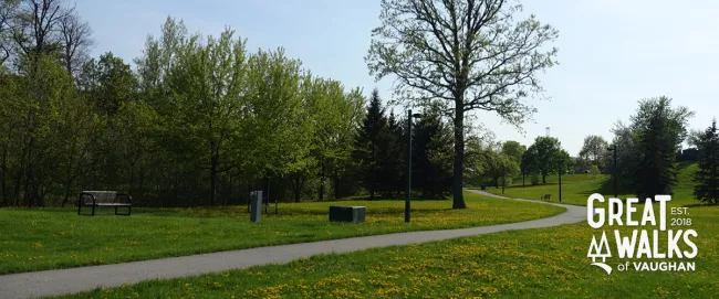
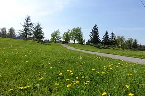
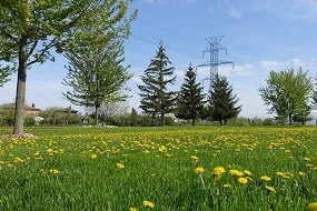
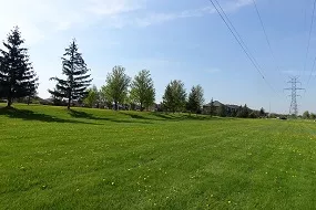
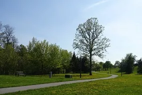
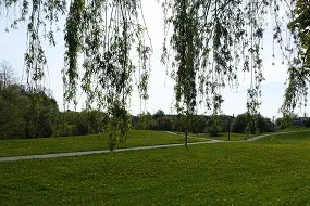
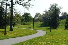
Rainbow Creek Neighbourhood Walk
Rainbow Creek Neighbourhood Walk Map
Distance: 2.2 km
Difficulty: Easy
Nearby: Father E. Bulfon Community Centre
- Includes Mapes Park and Rainbow Creek Park
- Linear walk along a neighbourhood area
- Playgrounds, sports fields and picnic areas
- Paved and lit, having some areas with moderate inclination
- Parking and access to trail available off of Highway 7, Street parking available at Mapes Park and Woodbridge Avenue
- Proximity to Father E. Bulfon Community Centre for washroom and resting areas
- Located in the general area of Martin Grove Road and Woodbridge Avenue
Image
Image
Image
Image
Image
Image