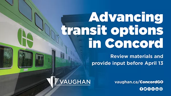
Advancing transit options in Concord
Review materials and provide input before April 13
The City of Vaughan is working to improve transit options in the Concord GO Centre. This includes supporting the development of a potential new GO station in the general area of Highway 7 on the Barrie GO rail line. A GO station in this location would connect GO Transit users to York Region’s existing Viva Bus Rapid Transit network and to the TTC subway station in the Vaughan Metropolitan Centre.
The City of Vaughan is working to improve transit options in the Concord GO Centre. This includes supporting the development of a potential new GO station in the general area of Highway 7 on the Barrie GO rail line. A GO station in this location would connect GO Transit users to York Region’s existing Viva Bus Rapid Transit network and to the TTC subway station in the Vaughan Metropolitan Centre.
As the land use and transportation studies progress, the City wants to hear from you.
Previously, the community was invited to attend a virtual Public Information Session to learn more about the land use planning and transportation studies underway and provide feedback on the information presented. If you were unable to attend the session, you can still get involved – presentation materials are posted online at vaughan.ca/ConcordGO for review and comment until Wednesday, April 13, 2022.
Comments can be submitted by email to the appropriate City planner:
- For the Mobility Hub Study, email Michelle Moretti at michelle.moretti@vaughan.ca
- For the Transportation Master Plan and Environmental Assessment Study, email Mani Shahrokni at mani.shahrokni@vaughan.ca
The following is more information about the various studies taking place:
Concord GO Centre Secondary Plan
To begin planning for a potential Concord GO Station, the City adopted the Concord GO Centre Secondary Plan in June 2014, which established the policy framework for a mixed-use community near transit infrastructure. The plan allows for various employment uses, both high- and low-rise mixed-use development, open space and natural areas. To implement the Concord GO Centre Secondary Plan and to plan for transit-oriented development, multiple land-use planning and transportation studies are currently in progress. Learn more about each of them below:
Mobility Hub Study
A mobility hub consists of a major transit station and the surrounding area, with a mix of land uses at different densities and options for transportation. The Mobility Hub Study area is bounded by Oster Lane to the north, Bowes Road to the west, the Barrie GO rail line to the east with a portion of lands extending to Ortona Court, and Highway 7 to the south.
Through the ongoing Mobility Hub Study, a land-use planning policy framework will be established to support the development of a complete community around a potential GO Station in the study area. This includes:
- reviewing the identified areas for transit-supportive uses and intensification.
- developing a preferred land-use scenario and location for a potential future GO Station.
- identifying infrastructure needs and urban design guidelines to support a potential GO Station.
Transportation Master Plan
The Transportation Master Plan will evaluate existing and future transportation conditions within the Concord GO Secondary Plan area. The boundaries of the Concord GO Transportation Master Plan are Langstaff Road to the north, Dufferin Street to the east, Keele Street to the west and Highway 407 ETR to the south. The outcome will include recommendations for a multi-modal transportation system that develops a street network, integrates regional and local transit, addresses connectivity, provides active transportation opportunities and supports the anticipated growth of the area.
Schedule ‘C’ Environmental Assessment (EA) Study
Upon completion of the Transportation Master Plan, this EA study will advance the planning and design of a new north-south minor collector road from Rivermede Road to Highway 7. The focus will be to determine the road’s preferred right-of-way and alignment and find ways to help minimize impacts to the natural environment, and the social and cultural realm.
Stay informed
To learn more, read the frequently asked questions or visit vaughan.ca/ConcordGO. To be added to the Mobility Hub Study’s mailing list, email the City of Vaughan’s senior planner on file, Michelle Moretti, at michelle.moretti@vaughan.ca. To be added to the Transportation Master Plan and EA Study list, email the City of Vaughan transportation project manager on file, Mani Shahrokni at mani.shahrokni@vaughan.ca.

