City of Vaughan Plots Winning Course for Map Award
May 21, 2013
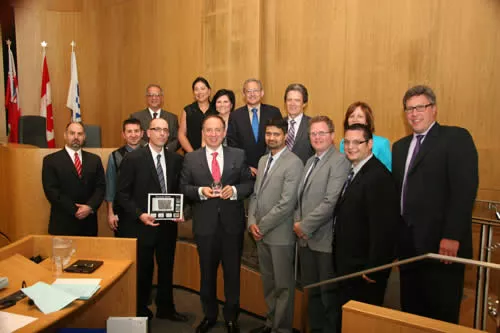
Vaughan’s recent entry in a competition showcasing excellence in Geographic Information System (GIS) technology has resulted in a 2013 People’s Choice Award. The City’s ‘Vaughan Viewer’ was given a provincial award for Best MApp (Maps and Applications) at Be Spatial, an annual event held by the Urban and Regional Information System Association (URISA).
The Vaughan Viewer is a internal mapping tool developed by the City’s Engineering Services and Information Technology departments. It provides staff with quick and efficient access to all of the City’s geographical data in order to:
· Map the City’s existing infrastructure to attract and grow business
· Assist in scheduling maintenance of City parks, playgrounds and trail systems
· Assist in maintaining sidewalks, roads, street lights and water distribution systems to ensure they meet health and safety standards
· Provide accurate information when carrying out investigations related to property standards, zoning and parking related matters
· Enhance other municipal services requiring access to geographical data
URISA is a non-profit organization that promotes the use and integration of spatial information technologies to solve challenges in government agencies, and to improve the quality of life in urban and regional environments. The organization was founded in 1963 and today has more than 4,000 members worldwide.
As part of Be Spatial, the City had the opportunity to submit the Vaughan Viewer for an awards program recognizing maps and applications developed by GIS professionals from across Ontario. The Vaughan Viewer was given the 2013 People’s Choice Award for Best MApp – Applications.
Vaughan previously won the Ontario Judge’s Choice Award for Best MApp – Map in 2010.